Firefighters have long battled wildfires in the Cairngorms National Park. But after a massive blaze in July, the threat didn’t end with the visible flames. Source: bbc.co.uk.
What Happened in the Wildfire
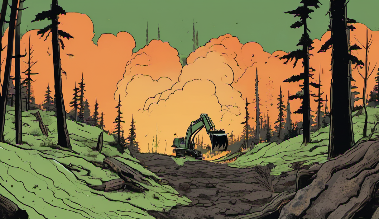
The flames swept through hillsides, blackening trees and scorching the forest floor. The fire was intense and spread quickly.
The dramatic flames have disappeared. But hot spots—areas where heat persists beneath the soil—still remain.
How Drones Are Finding Hidden Fires
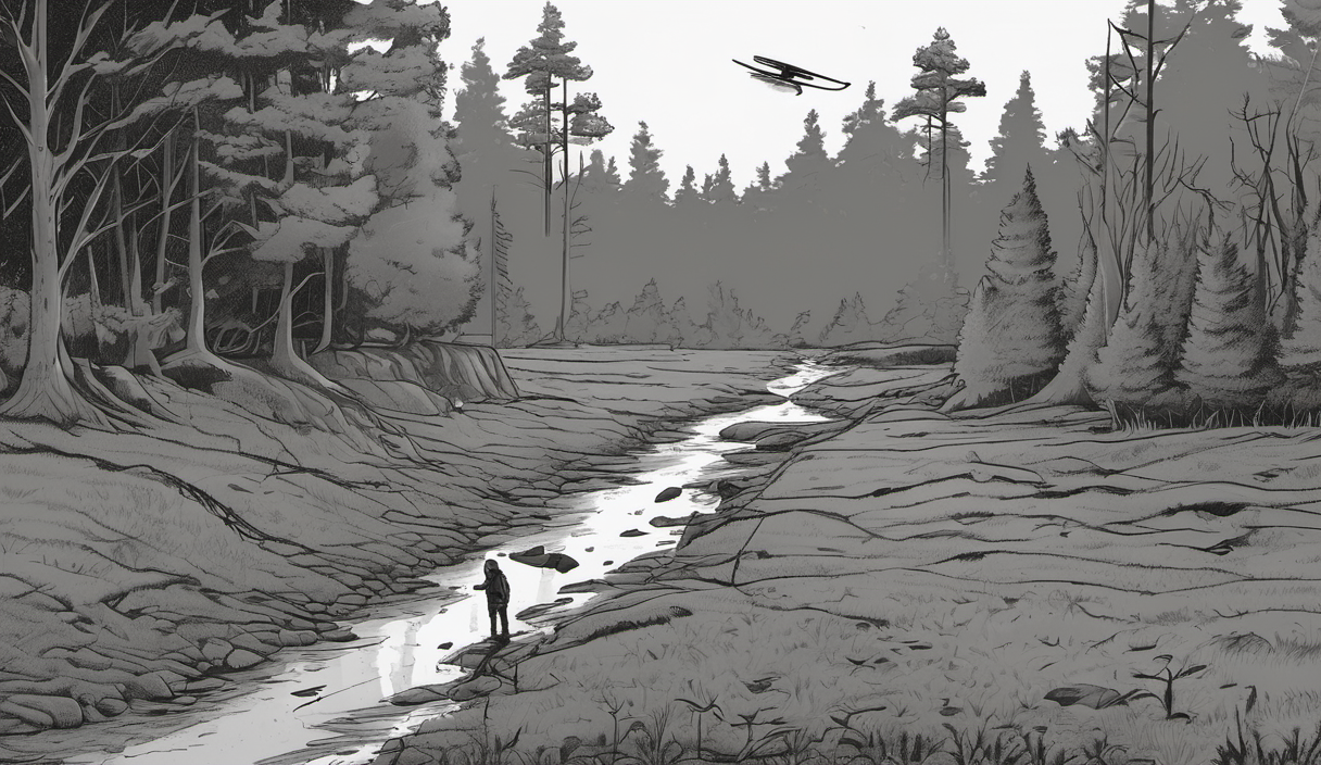
Drone pilot Pete Short has been flying thermal drones in the area for nearly three months.
Each week, the drones scan the landscape, detecting heat signatures beneath the surface.
On one flight, they found eight hot spots. That number is not small—each one could reignite a larger fire.
“Every week I hope that I find none,” Short says. “On the last flight we found eight.”
When the team identifies a hot spot, ground teams are sent to dig and extinguish it with water.
Why This Matters for Recovery
Ben Jones, senior site manager at the RSPB at Abernethy, says resources are limited.
“We can’t send everyone out everywhere,” he says. “We need to know exactly where to send teams to be efficient.”
Each hot spot has the potential to reignite a wildfire. Ignoring them could lead to new, uncontrolled fires.
Dr Sarah Henshall, head of conservation at the Cairngorms National Park Authority, says it’s too early to know the full ecological impact.
“Some recovery will be quick,” she says. “Some will take years, decades, or beyond our lifetime.”
How the Drones Are Helping Long-Term
Now, the drones are programmed to fly the same routes month after month.
By repeating the same flight paths, conservationists can track changes over time—like green shoots emerging from blackened soil.
“This standard drone route will have exactly the same route flown month by month, year by year,” Henshall says. “It will give us amazing information about how the landscape is recovering.”
There’s also potential for early fire detection.
“It’s those moments before a wildfire gets out of control that could be critical,” says pilot Pete Short. “Getting a view above the canopy quickly could stop a fire before it spreads.”
What to Watch Next
As the park recovers, scientists will monitor:
- Soil temperature and moisture levels
- Plant regrowth patterns
- Spread of fire-resistant fungi and new vegetation
The drones are not just tools for firefighting—they are becoming vital for long-term ecological monitoring.
While the visible fire is gone, the underground threat remains. And with drones, experts can now see what the ground hides.
For now, the forest shows signs of life—green shoots, fungi, and small flowers. But beneath the surface, the last of the fire still burns.
Conservationists are watching closely. The recovery may take decades. But with technology, they can track it—and respond.
Source: BBC News — How drones are hunting fires hidden beneath the Cairngorms
Sources & further reading
AI-generated illustration.