The Met Office has confirmed an early and unusually intense sudden stratospheric warming (SSW) event has occurred high above the North Pole. This shift, at about 30km above Earth’s surface, is one of the earliest and strongest on record since the 1940s.
What is a sudden stratospheric warming?
During autumn and winter, a pool of extremely cold air forms in the stratosphere above the Arctic. It is held in place by powerful westerly winds called the stratospheric polar vortex.
This vortex acts like a ring of cold air, keeping the Arctic stable and cold. Occasionally, large atmospheric waves—known as planetary waves—rise from the lower atmosphere and travel into the stratosphere.
When these waves hit the vortex, they disrupt its balance. Winds slow or reverse. Air sinks and compresses. This causes a sharp rise in temperature—defining a sudden stratospheric warming.
Such events are rare in early autumn. This year’s event stands out because of its intensity and timing. Met Office analysis shows it was driven by an unusually strong sequence of planetary waves.
A powerful wave pattern weakened the vortex in late October. A second wave in November pushed it far off-center from the North Pole. The combined strength of these waves exceeds any early-season event since the 1940s.
How did this event unfold?
The wave sequence was both fast and intense. The first wave acted as a warning sign. The second wave amplified the disruption. The vortex shifted significantly from its central position.
This pattern has not been seen in such form at this time of year in decades. Experts say it may signal a broader shift in Arctic atmospheric behavior. This could affect how air flows into mid-latitude regions, including the UK.
What does this mean for UK weather?
The stratospheric temperature spike does not cause cold weather at the surface. Changes take two to six weeks to reach the lower atmosphere. Even then, an SSW only increases the chance of cold weather—not guarantees it.
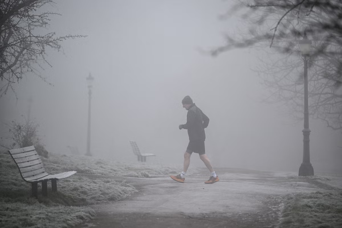
Multiple conditions must align for snow to occur. These include low-level moisture, stable air, and a persistent cold surface layer. Without them, widespread snowfall is unlikely across the UK.
The polar vortex is showing signs of recovery. Westerly winds are beginning to rebuild. But some long-range models suggest it could weaken again in December. This raises concern about possible future disruptions as winter progresses.
What to expect in the coming week?
Southern England will face unsettled weather. Low pressure will keep conditions unstable. Northern areas will have drier, brighter days.
Overnight temperatures could drop to as low as -8°C or -9°C in sheltered spots by Friday or Saturday. By Saturday, Atlantic weather fronts will move in from the west. They will bring rain and slightly milder air.
The current cold spell is not caused by the SSW. It comes from a strong jet stream that has shifted further south than usual. This keeps Britain on the colder side.
While the upper-atmosphere event is notable, it does not directly affect surface weather. The interaction between stratosphere and troposphere is indirect. Surface conditions depend on ocean temperatures, surface pressure, and jet stream position.
As meteorological winter begins, monitoring the polar vortex remains key. If it weakens again in December, it could lead to further weather disruptions in the UK.
For more on current UK weather, see the Met Office’s official forecast here.
For updates on fog warnings and other local alerts, visit our coverage of fog warnings in England.
Sources & further reading
Featured image: original publisher image. Via original publisher. Image source