Walkability matters when deciding where to live. It affects daily life — from how you get to work to where you shop and eat.
The Top 10 Most Walkable Cities
Walk Score ranked 130 U.S. and Canadian cities by walkability. The top 10 are based on how easy it is to walk to key destinations like stores, restaurants, and transit hubs.
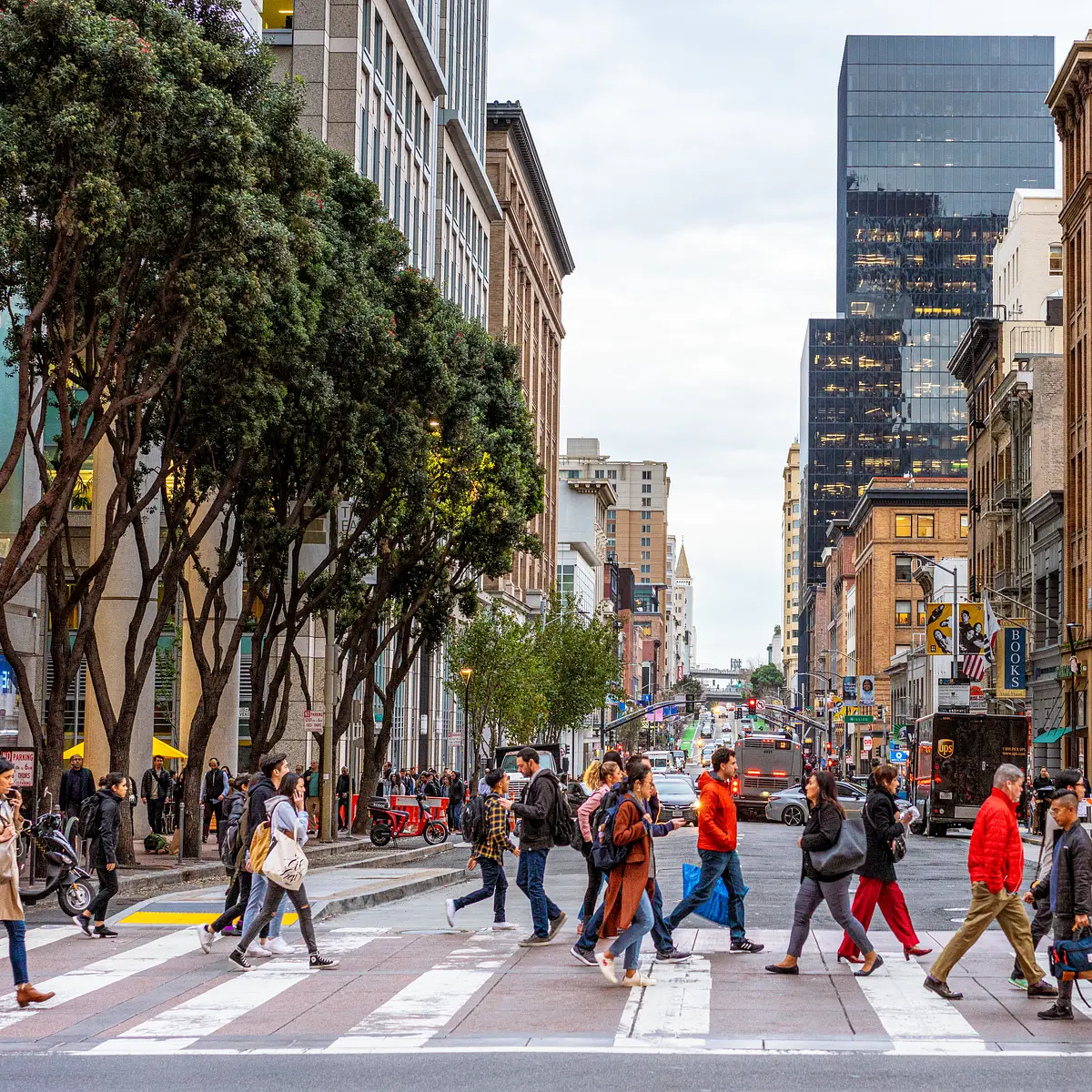
- San Francisco, California ranked first. Its compact layout and pedestrian-friendly design make walking common. The city has a dedicated pedestrian program to promote walking, and public transportation such as BART supports access to transit stops without needing a car.
- New York City, New York came in second. High population density and an extensive subway system support walking. Residents frequently use public transit, and the city’s transit system is ranked best in the United States and Canada by Walk Score.
- Jersey City, New Jersey is third. It has dense neighborhoods and strong public transit, which helps walking. According to Walk Score, it ranks in the top five for transit quality, making it a strong choice for those who value accessible, reliable transit.
- Boston, Massachusetts is fourth. Its transit system is third-best in the survey. The city’s urban layout supports pedestrian access to services, and its mix of historic and modern neighborhoods encourages walking as a daily activity.
- Vancouver, British Columbia is fifth. It is the only Canadian city in the top 10. The city’s urban design emphasizes walkability, with well-connected streets and transit options that support active, car-free living.
- Chicago, Illinois is sixth. It offers a mix of dense neighborhoods and transit access. Walking is common in central areas, especially near downtown and key commercial districts.
- Washington, D.C. is seventh. It has a well-connected transit network and a dense downtown core, which makes it easier to walk to key destinations without relying on a vehicle.
- Miami, Florida is eighth. Though it has a warmer climate, its central areas are walkable. Some neighborhoods offer good pedestrian access, particularly in areas with mixed-use development and well-maintained sidewalks.
- Newark, New Jersey is ninth. It has a mix of urban design and transit options. The city supports walking in key districts, especially in areas with high foot traffic and accessible public transit.
- Oakland, California is tenth. It has a mix of dense areas and transit access, especially in the downtown region. While the city is larger in area, certain parts offer strong walkability due to thoughtful urban planning.
Why These Cities Rank High
Walkability depends on three main factors: population density, public transit quality, and pedestrian infrastructure.
Compact cities with high density allow people to walk to nearby services. San Francisco and New York are examples. Residents in these cities often live within walking distance of shops, schools, and public transit, reducing the need for cars.
Public transit plays a key role. Cities with frequent, reliable transit help people walk to stops and avoid cars. In New York, for instance, the subway system is widely used and considered the best in the U.S. and Canada by Walk Score, making it a major contributor to the city’s high walkability score.
Well-designed streets and sidewalks also matter. Cities with clear pedestrian paths, crosswalks, and safe intersections make walking safer and more appealing. These features are especially important in dense urban areas where people rely on walking for daily movement.
Worst Walkability Cities
Chesapeake, Virginia, ranked last. It has the worst public transit and bike safety scores. The city lacks a reliable transit system, which makes it difficult for residents to access services without a car.
Fayetteville and Winston-Salem, North Carolina, also scored poorly. According to Walk Score, neither city has a transit system that could be evaluated in the survey. Residents in both cities face significant challenges when trying to bike safely through town, with both cities placing in the bottom three for safe cycling access.
Other low-scoring cities include Jacksonville, Florida; Montgomery, Alabama; and Charlotte, North Carolina. These cities are large and spread out, with low population density in key areas. This sprawl makes walking difficult, especially over longer distances.
Limitations of the Study
Walk Score’s method relies on data from public transit, land use, and street design. It does not include personal experiences or lifestyle choices. For example, a person might prefer walking in a neighborhood even if it’s not officially ranked as highly walkable.
Some cities may have good walkability in certain areas but not others. The rankings reflect average conditions across the city, not individual neighborhoods. A person living in a suburban part of a large city might experience very different conditions than someone in a central district.
Walkability is not the only factor in housing or living decisions. Cost of living, job access, climate, and personal preferences also play a major role. A city with high walkability might not be ideal for someone who needs a large home or lives far from work.
The data comes from a single source — Walk Score — and is based on specific metrics. It does not include user feedback or real-time conditions. As such, the rankings should be viewed as a general guide rather than a definitive measure of livability.
For readers, this list offers a starting point. It doesn’t mean a city is ideal for everyone. Personal preferences and needs vary. What works for one person might not suit another, especially when considering lifestyle, family size, or work environment.
More research is needed to understand how walkability affects health, employment, and community life. But for now, it’s a useful guide for those considering a car-free lifestyle.
Source: Mental Floss
Sources & further reading
Featured image: original publisher image. Via original publisher. Image source