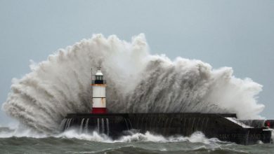
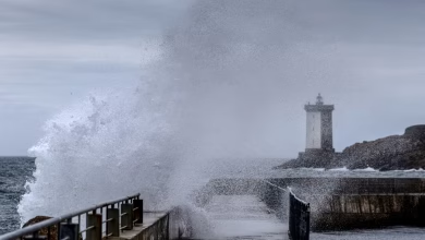
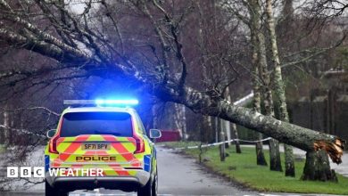
Thick fog is expected to create hazardous driving conditions across parts of the UK this week. Source: bbc.co.uk.
What to expect in the coming days
After a stormy period, the UK is set to experience calmer weather with increasing mist and fog. This shift follows a significant weather event caused by a strong jet stream that pushed deep low-pressure systems toward the country, resulting in widespread rainfall and strong winds.
Wednesday will begin with cooler temperatures and scattered showers, primarily affecting southern Scotland, northern England, and north Wales. These showers will gradually move southward during the morning, passing through the Midlands before fading by midday.
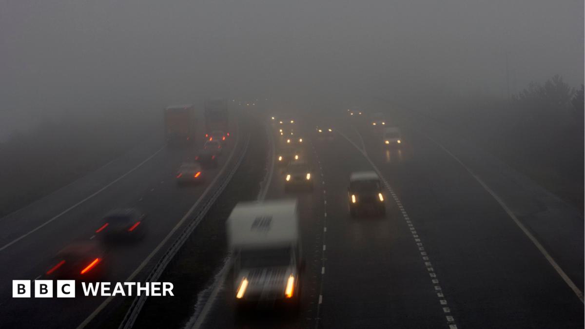
By Thursday morning, winds will have significantly lightened. This change in wind patterns will trigger widespread fog formation, especially in east Wales, central England, and southern England. The fog may be dense in certain areas and could persist into the midday hours, creating serious challenges for drivers during the morning commute.
How fog forms in autumn weather
Fog develops when the ground cools rapidly during the early morning hours, especially under stable atmospheric conditions. As high pressure builds over the UK, air becomes more stable and winds weaken, reducing mixing between layers of air. This stability allows moisture near the surface to condense into fog.
Experts note that in late autumn, such conditions are common due to the combination of clear skies, low wind speeds, and cool surface temperatures. The process is amplified in areas with limited wind exposure, such as valleys and low-lying regions.
Where fog is most likely
- East Wales
- Central England
- Southern England
Fog may not clear at all in some locations, making mornings feel chilly and visibility poor. This is particularly true in areas where topography traps cold air and moisture.
What comes next?
By Friday and Saturday, rain is expected in Scotland, Northern Ireland, and northern parts of England and Wales. However, mist and fog could still form in eastern and southern England due to continued high-pressure conditions.
High pressure will become more widely established over the UK through the weekend and into next week. This means more mist and fog is likely during overnight hours and early mornings. In some places, the fog and low cloud may remain persistent, making travel difficult and increasing the need for caution.
Water supply concerns
Despite October rainfall being near average in England and Wales, some reservoirs remain exceptionally low. This reflects a broader pattern of water scarcity, even in years with average rainfall. Experts suggest that prolonged dry periods and reduced evaporation due to stable weather contribute to this issue.
The BBC weather service reports this forecast based on atmospheric models and real-time observations. Drivers are advised to check local forecasts and use navigation tools that include visibility warnings. For up-to-date weather details, visit the original BBC Weather article.
Sources & further reading
Featured image: Photograph of vehicles including cars and vans on a dual carriageway road with their headlights on in foggy conditions. Other cars are attempting to join the road from a slip road.. Via original publisher. Image source