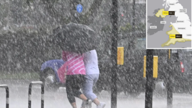
The Met Office has issued a yellow wind warning for north-west Scotland on Wednesday. Gusts could reach up to 70mph (113km/h). Source: bbc.co.uk.
What Happened
A weather system with Hurricane Isaias’ remnants is moving across the Atlantic.
It will bring gales, heavy rain, and warm air to parts of the UK this week.
The storm’s core stays hundreds of miles from UK shores. North-west Scotland will face strong winds instead.
Key Facts
- The yellow warning is active Wednesday from 10:00 to 19:00 BST.
- It warns of moderate impacts: rail, air, and ferry delays; road and bridge disruptions; possible short-term power cuts.
- Widespread gusts of 50–60mph are expected. 70mph gusts may hit exposed coasts and hills.
- Shetland sees 50mph gusts. Disruption is less likely.
- 40mph gusts are possible in northern Scotland, Northern Ireland, northern England, and north-west Wales.
- Heavy rain hits Scotland and Northern Ireland by late day.
- Some patchy rain may reach north-west England and north Wales. Most areas stay dry after early mist clears.
Weather Patterns
Warm south-westerly winds will spread across the UK.
Temperatures will rise into the mid to high-teens Celsius.
Warmer conditions will last through Thursday.
What to Watch Next
A weather front moves slowly southward.
It brings rain to Scotland, Northern Ireland, northern England, and north Wales.
After the front, conditions turn cooler and drier.
These cooler conditions spread southward through Friday and the weekend.
High pressure will settle near the UK. This may block Atlantic storms for the coming days.
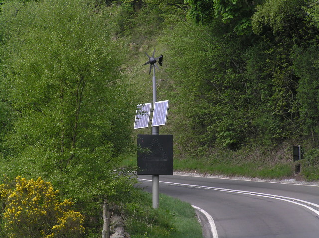
Residents in the warning zone should prepare for transport delays and power issues.
High-sided vehicles may face road and bridge delays.
Short-term power cuts are possible.
For updates, check the BBC Weather website and app.
Background: How the Storm Developed
After Hurricane Isaias weakened in the southern US, it caused heavy rain in eastern North America.
Its remnants moved over the Atlantic and were pulled by a strong jet stream.
This formed a new area of low pressure. Meteorologists call this explosive cyclogenesis — a ‘weather bomb’.
The jet stream steers the storm far from UK shores. It passes near Iceland, where blizzards are possible.
Wind gusts over the sea between Iceland and the Faroe Islands could exceed 110mph. But this won’t affect the UK.
UK regions avoid the worst impacts. Northern areas still face strong winds and rain.
Such events are common when tropical storm remnants meet mid-latitude systems.
Sources & further reading
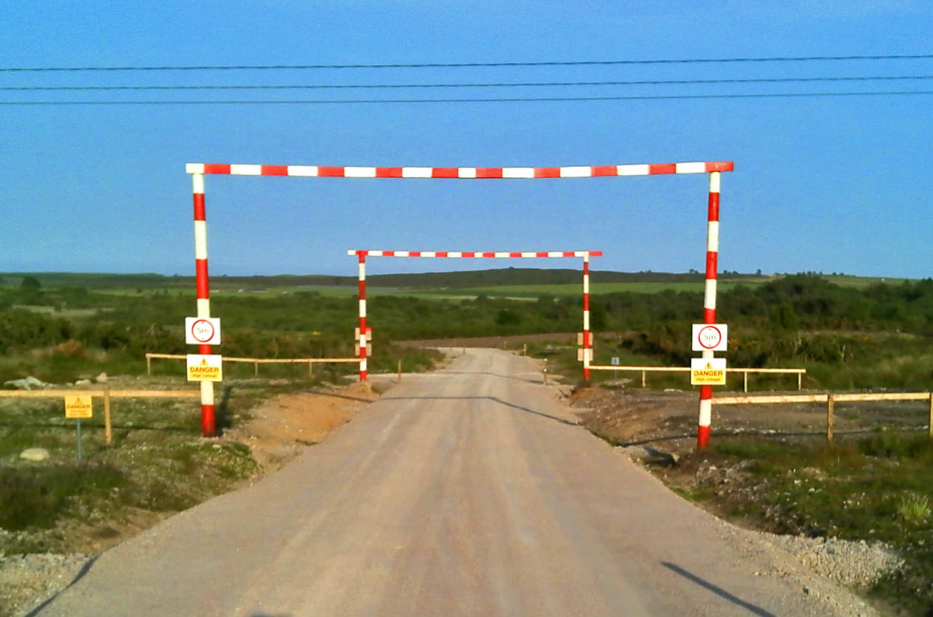
Featured image: Power line warning on the road to the wind farm… by C Michael Hogan , CC BY-SA 2.0, via Wikimedia Commons. Image source · License